VVMapping.com - providing high quality mapping products for outdoor recreation

You are here -> Home: Trail Info: Pinnacle Creek

Home

Free Maps

Store

ORV Trail Maps

ORV Trail Information

Snowmobile Trail Maps

Outdoor Recreation Maps

Service/Support

Contact

Privacy Policy

About Us

Mailing List


Information on Pinnacle Creek Trail

Updated 11/25/11

Back to Main Trail Info Page

OHM ATV

Pinnacle Creek Trail
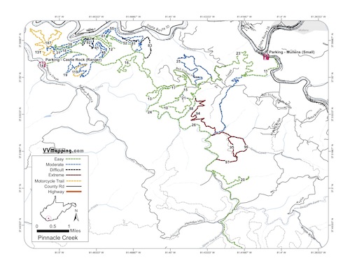
Printable Map (PDF), Page with Video of Trail. More Pictures.
Length: 75.9 Miles
Community Connector: Yes
Pinnacle Creek is an easier system with fewer rocks like Indian Ridge. New Black and Extreme trails were opened in 2009. The Black trails are relatively easy due to the lack of significant rocks. Several extreme trails in SE corner are still listed as open on the official HM maps, but remain posted closed on the ground through 2011. New connector trail to Indian Ridge system in 2010. New single tracks (three) added in mid-late 2011 ranging from easy to pretty difficult. Gas and food available in Pineville which is a short road ride from the main staging area. Mullens connector has a small parking area, big rigs/trailers are not recommended for this alternate parking spot; gas and food in Mullens.

Trail Rating
Length (Miles)

Trail Notes:

81 Black
From 12 to 52. Medium descents, easier from 12 to 52.

82 Black
From 52 to 55. Medium climb. Easier 52 to 55.

83 Black
From 10 to 55. Decent descents. Minor climb. Easier 10 to 55.

88 Black.
From 23 to 10. Minor rocky ascent. More of a blue trail.

91 Black
From 45 to 18. Decent descents, easiest 45 to 18.

92 Black
From 45 to 40. Couple descent climbs. Easier 40 to 45.

93 Black
From 91 to 18. Rocky climb. Easier 18 to 91.

94 Black - Easier 88 to 23; Major downhill at intersection with 23 Blue.
95 Extreme - Trail moved in 2011 due to logging, long climb from 96 to 95/96/97 intersection.
96 Extreme - Easier 97 to 23; long downhill rocky stream, multiple stream crossings.
97 Extreme - Easier 96 to 23; long muddy climbs followed by long rocky stream climbs (up hill from 23 to 96).

94 is most difficult trail on system due to climb; other Extreme trails great fun and good challenge.

119 Orange - single track with minor climb running on mostly grown-in logging cut.

131 Orange - Similar to 119 with minor climb near 187 intersection.

187 Orange - Major climb (both directions) getting on/off ridge top. Ridge top bulldozed/widened for recent gas well activity (2011) so majority of "single track" is along side/bottom of hillside.

Green
40.7
Blue
20.9
Black
3
Extreme
6
Orange
5.3


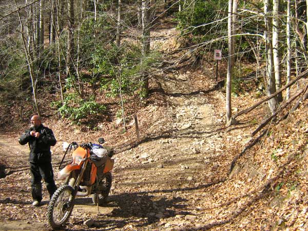
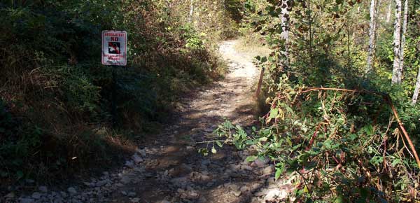
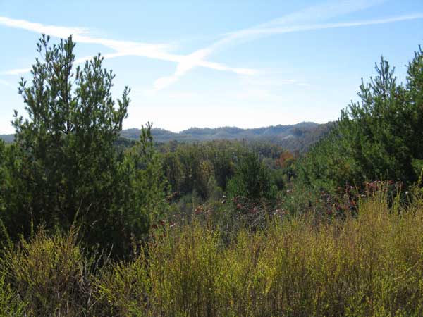
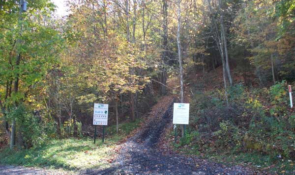
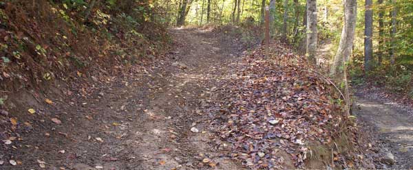
Images of Pinnacle Creek Trail.


Back to Trails List

Information about this page

Information regarding ORV use in West Virginia

Big Picture of trail locations

GPS Map Information

Creative Commons License
This work is licensed under a Creative Commons Attribution-Noncommercial-No Derivative Works 3.0 License

Email Webmaster@vvmapping.com for site issues/suggestions
Email info@vvmapping.com for all other items

Copyright 2008 Valley Ventures Mapping LLC