VVMapping.com - providing high quality mapping products for outdoor recreation & Beyond
|
|
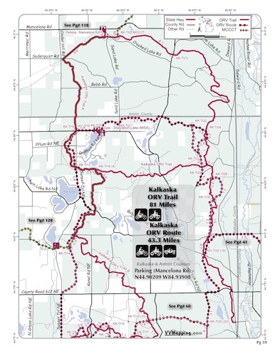
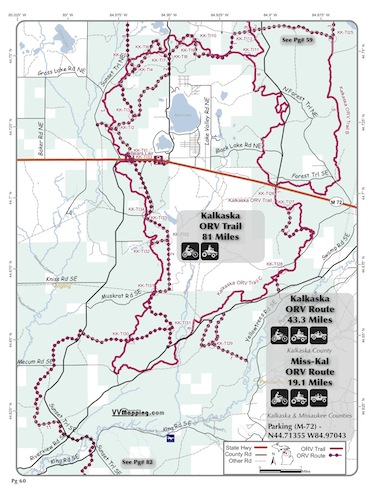
Information on Kalkaska ORV Route
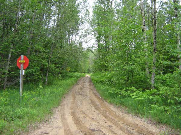
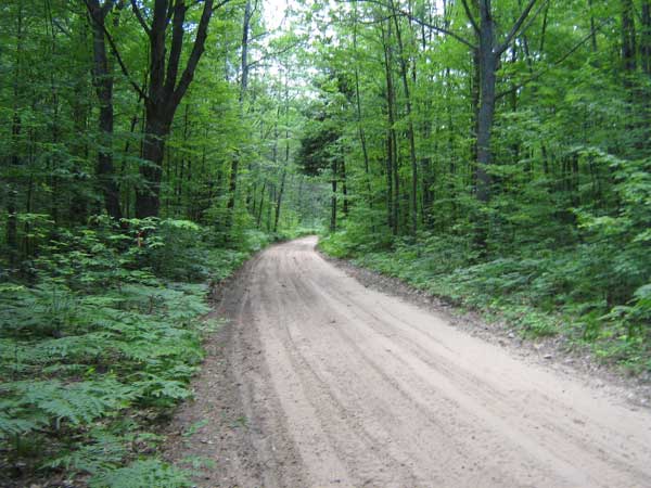
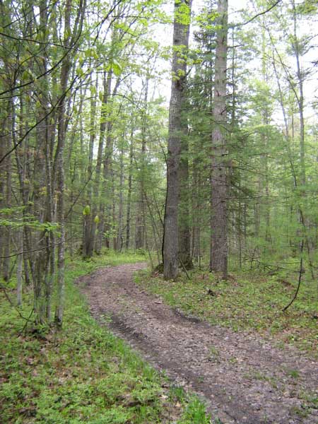
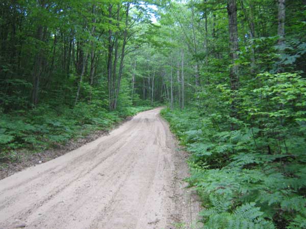
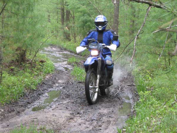
Kalkaska ORV Route. Mostly sandy, rolling to hilly. Routes generally wind through the hills. Several loop options. Some isolated/segmented sections that have very little use. New additions in 2010-2011 make for many options and more connections. New connector Route to North Missaukee system in 2010. See Kalkaska Trail for food/fuel info. Located in Kalkaska and Antrim counties which allows ORVs on county roads.
Video of Trail, 3 minutes, Quicktime, 25 MB
|
Back to Trails List
Information about this page Information regarding ORV use in Michigan Trail Guide at a glance Big Picture of trail locations Map Book Information GPS Map Information
|