|
|
Information on Ivy Branch Trail Updated 4/5/14
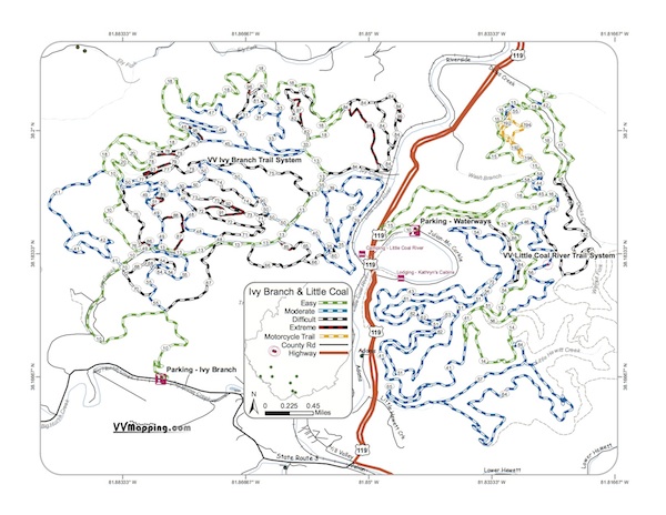
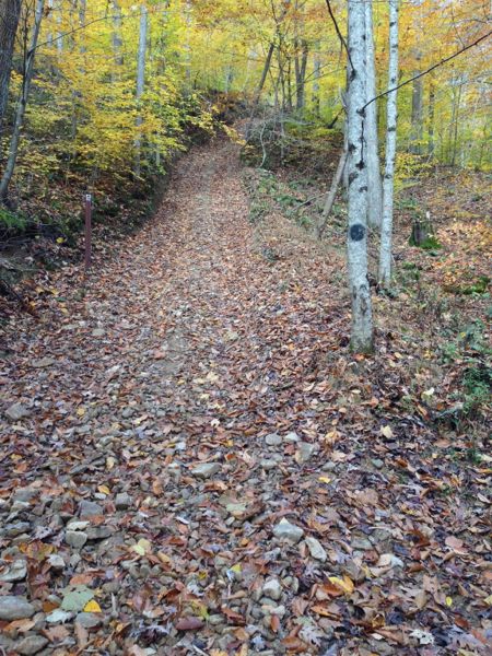
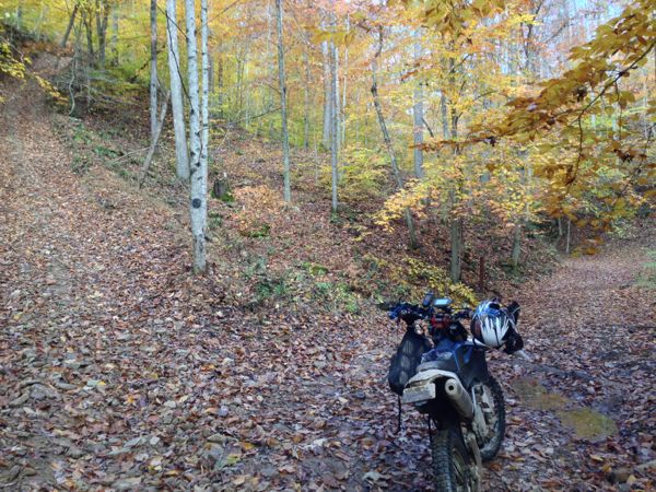
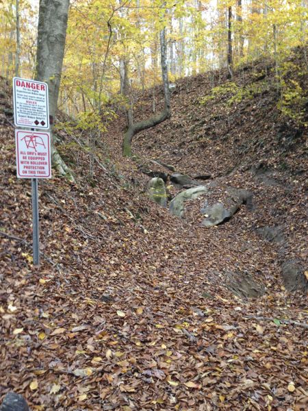
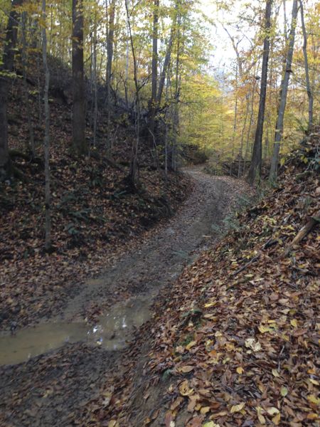
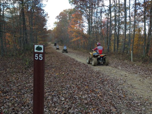
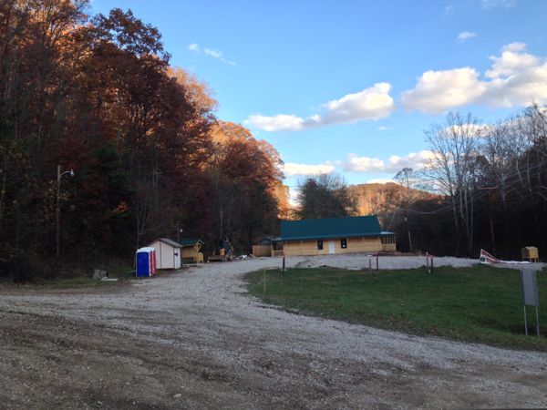
Ivy Branch Trail Ivy Branch was opened in summer of 2013. It's currently separated from Little Coal River Trail by the highway, river and railroad, though you are only a stone's through from either on a couple of the trails. There is no connector at this time, but expect one in the future. This system is unique in the HM trails in that full size vehicles are allowed on many of the trails. There are extreme trails opened, effectively, just for the full size rock crawlers. In our rides, we've not encountered traffic that was different from any of the other HM trails. Less rocks and more dirt is typical of this trail, much like Little Coal, however there are more of the difficult/technical trailswith a good variety of muddy trails, easy trails and challenging climbs. Currently no single track trails, but like Little Coal, there are paved sections. The parking area was small and easily crowded and Ranger Station was not complete when we recorded this trail. No official connector, but food is available not far from the parking area.
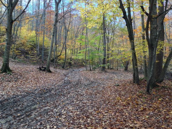
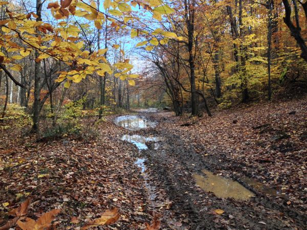
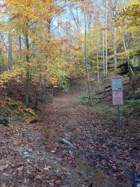
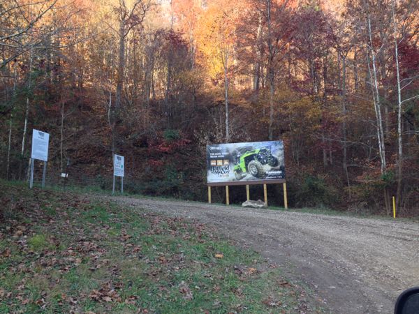
Images of Ivy Branch Trail.
|
Back to Trails List
Information about this page Information regarding ORV use in West Virginia Big Picture of trail locations GPS Map Information
|

