|
|
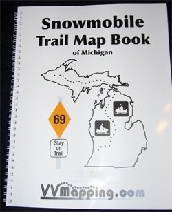
Printed Maps Map Book of Michigan's Snowmobile Trail System Current Edition is available for $45 (price includes tax and shipping). Books are updated throughout the year and printed on-demand to ensure the most up-to-date trail information is included. Purchase it online now!
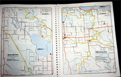
The Michigan Snowmobile Trail system is included in it's entirety. Both the upper and lower peninsula are covered. Each trail has been documented with a GPS unit, more accurate than any other product we know of. Map Book is constantly updated through the year ensuring it is the most up-to-date product available. Download a sample map page (PDF) to see for yourself. Over 100 pages of full color detail. Size is 8.5" x 11" - easily take it on the trail with you! Snowmobile Trails shown and easily identified. GPS Grid on each page.
Public land ownership is included. Certified county roads, state highways, forest roads and more. Parking lots are included, with GPS coordinates. Nearby gas stations too. Distance between trail intersections, trail intersection numbers and more. Details on Snowmobile rules included. This compliments our GPS Snowmobile Trail Map product very nicely. Use the GPS to know exactly where you are and the mapbook for the "big picture". Questions? Please email us with your questions/suggestions. |
Download this sample page from the Map Book (PDF) Please send us feedback! What would make this more useful, what type of GPS do you use, etc.
Mailing List - Be notified of updates |


